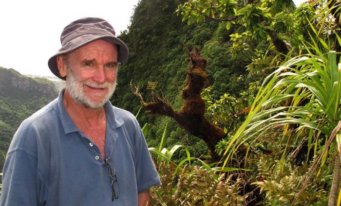
Gerald McCormack is Director of the Cook Islands Natural Heritage Trust. He has worked with the Cook Islands Government since 1980 as Science Advisor to the Ministry of Education, Director of the Conservation Service, and Director of the Natural Heritage Project. Gerald has a First Class Masters in Zoology, and is an accomplished photographer and author. He is also President of the Cook Islands Library Museum Society Council. He continues to participate in conservation projects.
Rarotonga’s mountain tracks
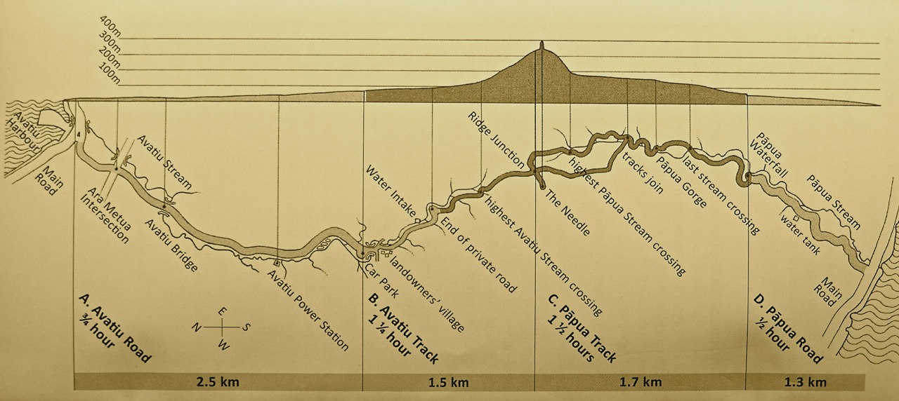
In 1995 Gerald McCormack and artist Judith Kunzlé wrote and illustrated a unique book entitled Rarotonga’s Mountain Tracks and Plants – a field guide to six mountain tracks on Rarotonga with maps and descriptions. Sadly, the publication is now out of print, but it was the precursor to A Guide to Rarotonga’s Cross-Island Track, which contains photographs and maps together with details of flora and fauna that trekkers may encounter. It is designed to show people how to enjoy the approximately four-hour trek from Avatiu to Papua Falls (a.k.a. Wigmore Falls).
“I wrote the first version of Rarotonga’s Mountain Tracks and Plants in 1985. I was interested in mountain trekking so I could record and photograph all the plants. It also seemed to be an important thing to consolidate where the tracks were because I had access to people that knew where the real tracks were. They were badly damaged by Cyclone Sally (1986-7). I already had the history of the tracks before Sally, so we were able to determine where the tracks should be for the 1995 book. In the book Gerald details the six main tracks ranging from the easier tracks like Raemaru to the more difficult Te Manga Track.
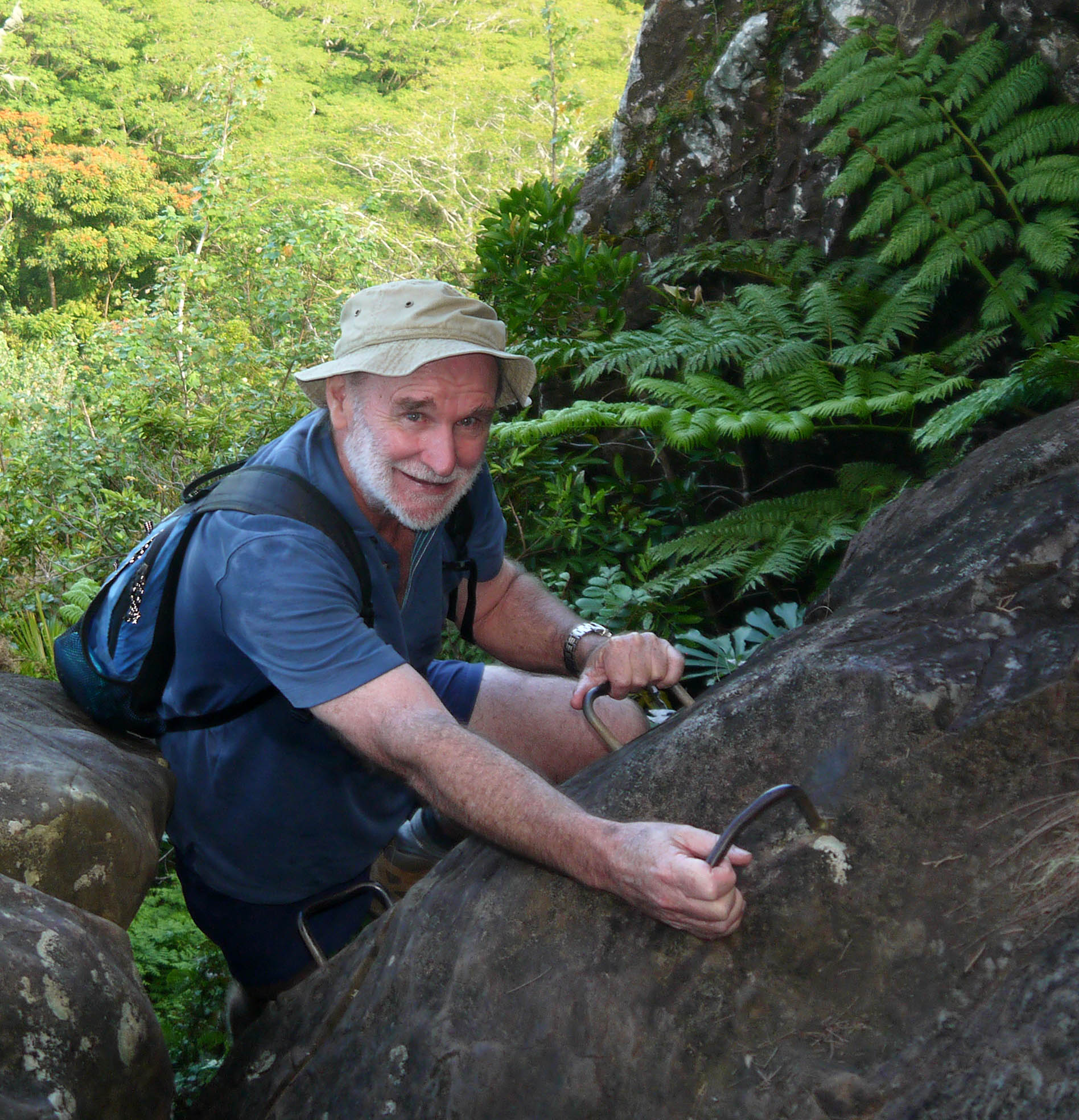
“When we did those tracks in the eighties we always brought along rope. I would climb up the cliff faces and place the rope. All the tracks on Rarotonga involved a rope sooner or later. As a result the tracks were a little discouraging and a little precarious”.
In the mid 1990s, with funding from New Zealand Government and Cook Islands Tourism, Gerald and Judith had the opportunity to publish Rarotonga’s Mountain Tracks and Plants.
 “The funding also provided enough for me to put in all the ropes and steel staples on the very steep sections. We put in big diameter rope with knots every half metre”.
Gerald said trekkers are often surprised how quiet the forest is in Rarotonga: “You can across the island and only see a couple of seabirds, but not a land bird except for mynas. The birds are there; they are just very quiet and non-vocal. When you are sitting having a snack at the base of The Needle and you look down the valley there is a chance you’ll see a fruit dove or a Pacific pigeon flying around. This is the most pristine forest in the South Pacific. And, you are going to notice the spectacular views as most of the walks are along the ridges.”
Walking shoes, running shoes or boots are recommended because the tracks pass over slippery ground, streams and a network of tree roots. No thongs or loose footwear!
“These are rugged walks and they are steep. There is always going to be a place where you are on your hands and knees. You should go slowly, especially when you are coming down. Come down steep sections the way army people are taught– backwards! – fingers and toes to the ground” advised Gerald.
“Trekkers should remember the land belongs to someone, so don’t take the mangoes or the bananas, and don’t hide your rubbish and empty drink containers”.
“Te Ko’u is be my favourite walk, but it won’t be everybody’s favourite until you get to the top. You are really in the heart of the island near where the original volcano and the original vents were. When you get to the top of Te Ko’u you come out onto a lip and you can look north and see the ocean and Mt Ikurangi. Then you walk across the top, which is a basin with a permanent stream. Then you walk up to the south side of the basin and you have this beautiful view down the south side.
If you can’t get hold of copy of A Guide to Rarotonga’s Cross-Island Track (try Bounty Book Shop), ask locals, the Cook Islands Tourism Information Office or Pa’s Treks. Most other tracks have a sign near the start and along the way, thanks to Gerald, there are a few yellow arrows on trees, posts or rocks pointing the way. Remember, it’s a simple precaution to tell someone where you are trekking, and when you expect to return.
“Preferably, trekkers should leave in the morning to allow time for taking photographs and relaxing. There is no reason to be lost on any track if you have a map of the track and you are following the signs and yellow arrows on trees”, said Gerald


